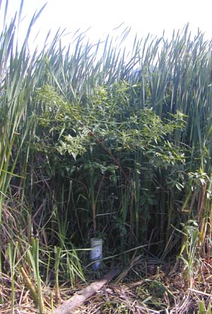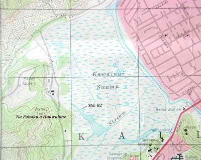

The PVC mat penetration device, Well B2, is located at Station B2 across a former open water pond from the wetland ponds restoration site at Na Pohaku o Hauwahine. The mat here is weak and readily depressed.
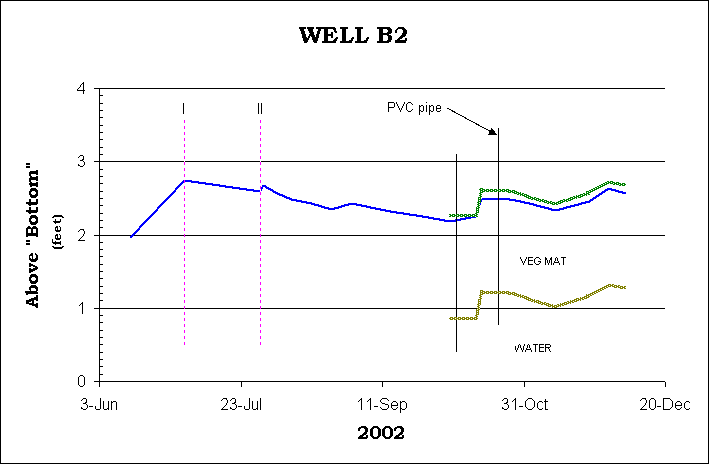
- The following legend applies to the graph above:
- Vertical lines "I" and "II" mark when changes were made to the water level measuring device: before I - readings from the coring device; after I - a measuring tape with brass weight used; II - tape device weight modified. Blue line is height of water above the "solid" bottom; green line represents "top of mat" calculated from tape reading from solid bottom to pipe lip plus a correction for the effect of the observer; brown line represents "bottom of mat" calculated as "top of mat" minus mat thickness. Vertical lines representing well are shown at selected points in time, plotted from the measurements solid bottom to pipe lip.
|
Sta. GPS: Date installed: Pipe length: Ext. above mat: Mat thickness: Under mat: |
June 2002 2.70 ft. 0.89 ft. 1.40 ft. water |
 Well B2 is located on the north side of an area of poor or weak mat formation covered by a monotypic stand of cattail. We believe this location is either in or near the northern margin of a former pond as depicted on the 1968 USGS Topographic Sheet (Mokapu Quadrangle; see right).
In this location, a layer of water about 1 foot thick is found beneath the organic mat. The mat is clearly floating, and it is difficult to make readings without noticeably depressing the mat at the well site. A correction factor is added to the readings to account for this temporary depression. As at Sta. B1, the marsh surface here maintains a relatively constant relationship to the water level and changes in water level following rainfall inputs are not exaggerated over changes recorded in the open ponds at Na Pohaku o Hauwahine. Thus, this area fits the standard floating mat model.