Waikalua Loko Fishpond
Location & Description
Waikalua Loko is located along the southern shore of Kane`ohe Bay on the Island of O`ahu, State of Hawaii, USA. The fishpond is situated between two waterways named Kane`ohe Stream and Kawa Stream. These streams drain approximately 5,000+ acres of mostly urbanized land extending from the pali (cliff) of the Ko`olau mountain to the edge of the Bay.
Waikalua Loko has a water surface area of approximately 11 acres and a fishpond wall (kuapa) extending out from the land and running about 1,400 linear feet. In this wall are three sluice gates (makaha) which are the primary sources of water to the pond from tidal movements in Kane`ohe Bay. The existing makaha were last modified in 1930 utilizing concrete and iron grates to control the entry and exit of fishes. Current historical information indicates that the pond has been in existence for at least 150 years. Analysis of the pond walls and sediment floor will help to more accurately determine the age of the pond.

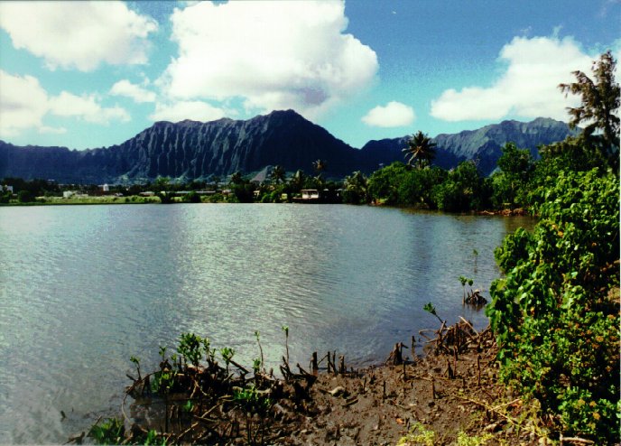
Looking across Waikalua Loko towards Kane`ohe and Nu`uanu Pali, windward O`ahu
LINKS: [HOME] | [about WLFPS] | [LINKS]

Last modified April 25, 2000 by webmaster (guinther@aecos.com)


![]()